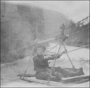
Click on these thumbnails for full-sized photos
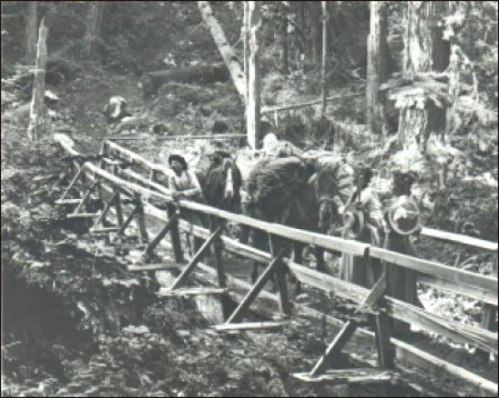
Left is a typical bridge over the high county canyons. This photo was taken by Darius Kinsey during an ascent towards Mount Baker from the south side in 1903. His wife, Tabitha, and her friend, Miss Phronia Farnsworth, are at the right. Packer Ed Barnes is at the left. The horse at the rear carries three of Kinsey's camera cases. You can see the photo and read the story about the ascent in the excellent book, Kinsey, Photographer, on pages 112-19.
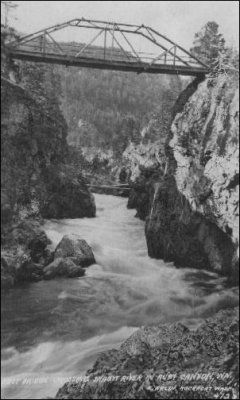
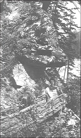
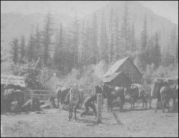
Center: you see the Devil's Corner, which was on the Goat Trail, a path that miners carved by hand from The Portage to gold fields on Ruby creek. The path was chiseled out of granite to form a path along the steep walls of the gorge above what we now call Newhalem. The Portage was the point near Newhalem that was the absolute last point where a sternwheeler (in high-water years) or a canoe could navigate on the Skagit river. From there, everything had to be carried on the backs of miners or mules. Until Will D. Jenkins and others were hired to use dynamite to widen the trails about 15 years later, the Devil's Corner was typical of the switchbacks and abrupt turns on the trails.
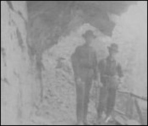
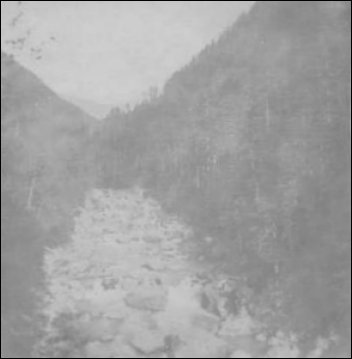
Right, you see another contemporary photo by an unidentified photographer, which shows better detail of what was also called Devil's Elbow.
|
 810 Central Ave.,